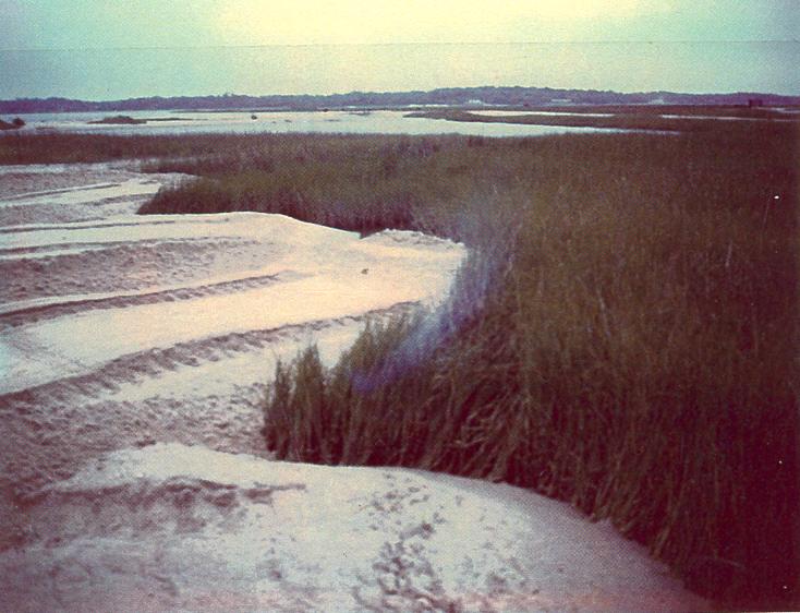
Aerial photo from our home page
Aerial photo located on our home page was taken in the early 20th Century.
Note how PHP is wetlands, Bayville Golf Course was farm land, beaches were wider, Lynnhaven Boat Ramp & dredge spoils site on Crab Creek didn't exist.
It was also way before the urbanization of the entire Lynnhaven Watershed which helped contribute to the demise of the famed Lynnhaven Oyster.
Click on image to enlarge.
Learn more about the Lynnhaven River by starting at Wikipedia.
Learn more about Lynnhaven River Now who is trying to "restore a legend".